6.6 km
Distance
1u57
Duration
242 m
Ascent
236 m
Descent
About this place
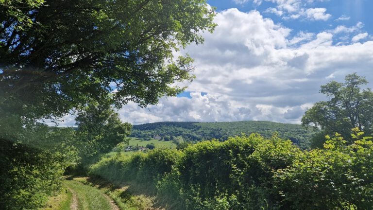
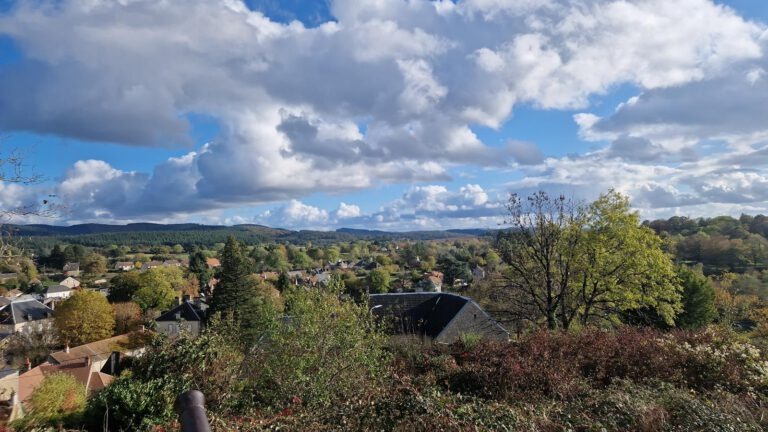
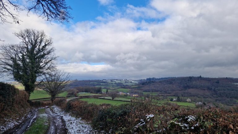
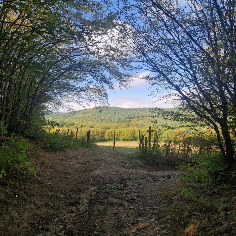
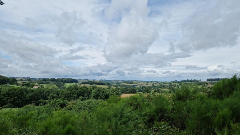
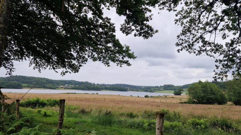
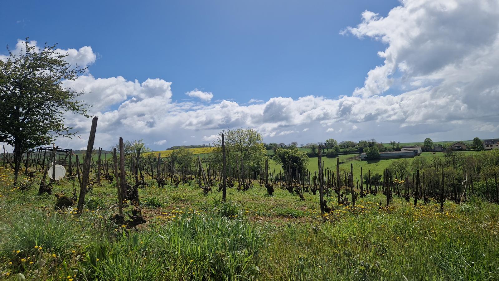
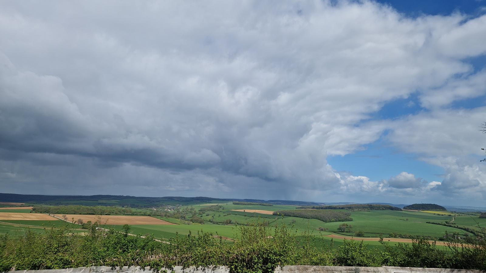
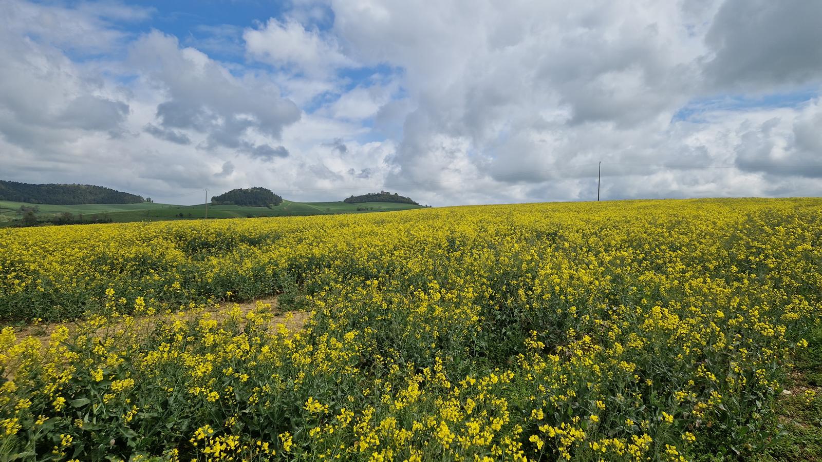
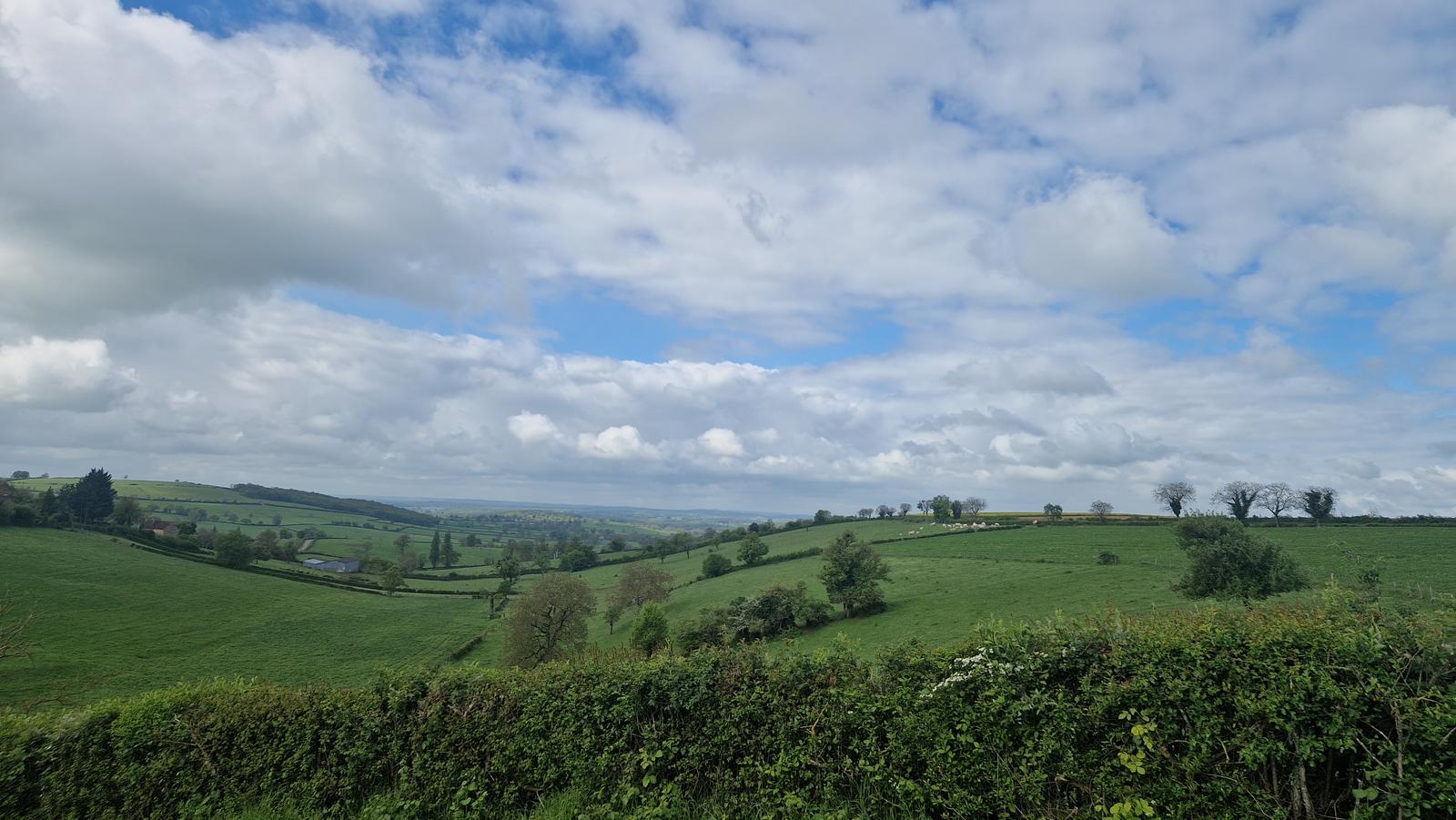
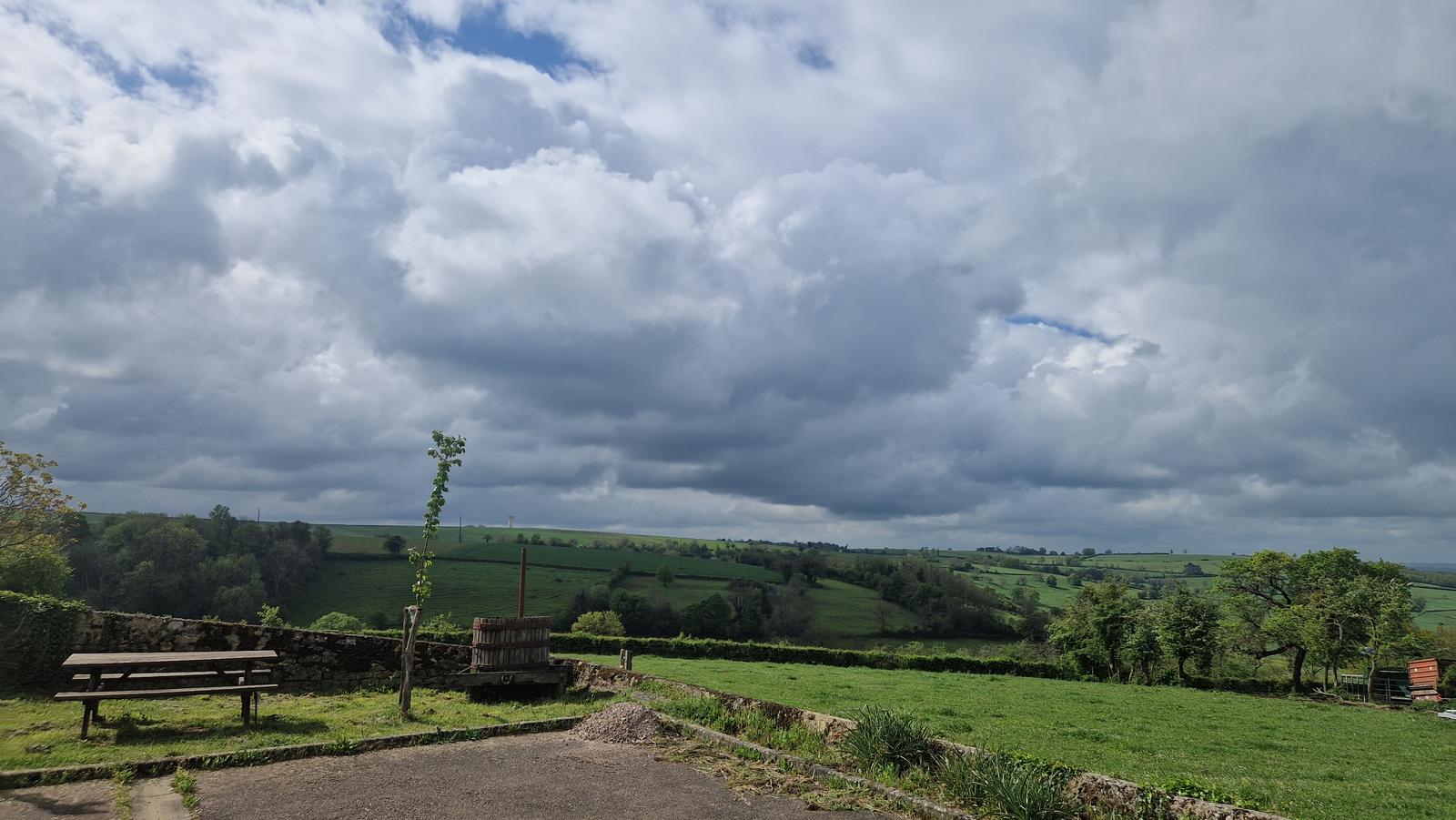
Vignes-le-Haut is a walk of approximately 6.6 kilometres with around 242 metres of ascent through open farmland, fields and small vineyards. The more open landscape provides several attractive views across the surrounding countryside. This route follows roughly half of a waymarked trail measuring 15 kilometres in total. Allow about 2 hours and use the map or GPX track to stay on the selected section.
Photos
Practical information
📍AddressVignes-le-Haut
🌿 Stay in the Morvan
Turn your discovery into a stay
Use Sous les Trois Tilleuls as your base for discovering more of the Morvan. Explore our two gîtes and choose the stay that suits you.